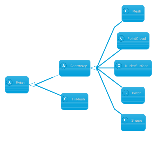
Class Libraries & REST APIs for the developers to manipulate & process Files from Word, Excel, PowerPoint, Visio, PDF, CAD & several other categories in Web, Desktop or Mobile apps. Develop & deploy on Windows, Linux, MacOS & Android platforms....elements NURBS geometries Parameterized geometries Local transformation...